
INDIA · TOURIST BOAT SERVICES
Sightseeing Boat Oversight in Mumbai
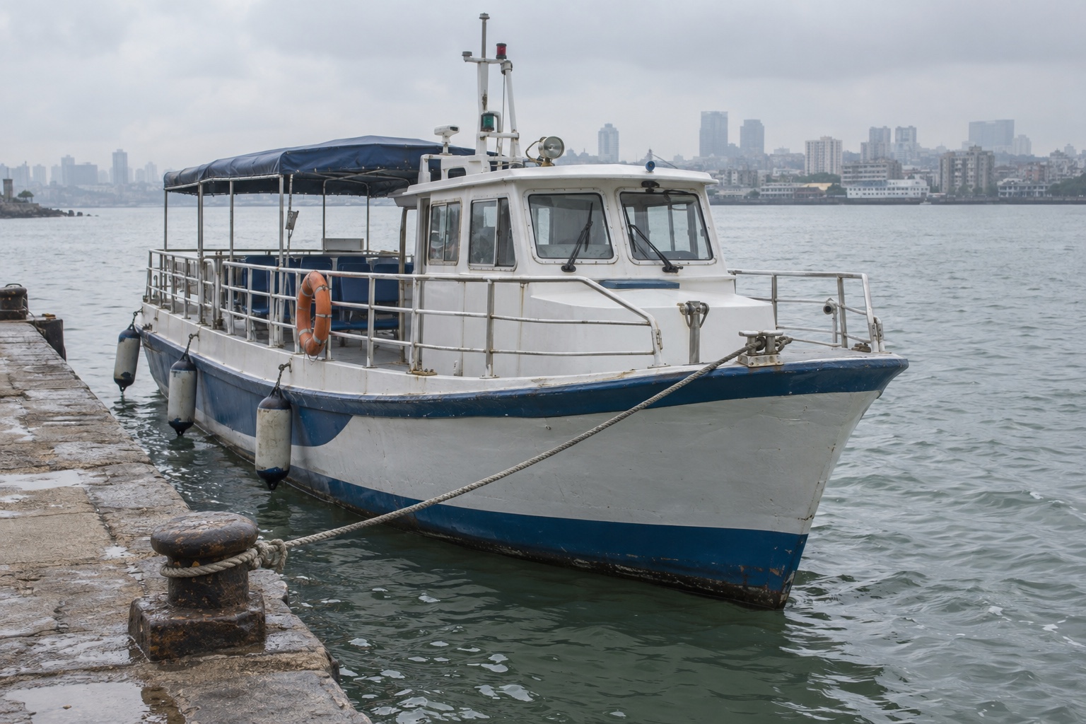
Four sightseeing boats connected journey and engine RPM records with crew assistance requests, using external antennas for available coastal cellular coverage.
Mumbai, India · Four sightseeing boats
Solution device
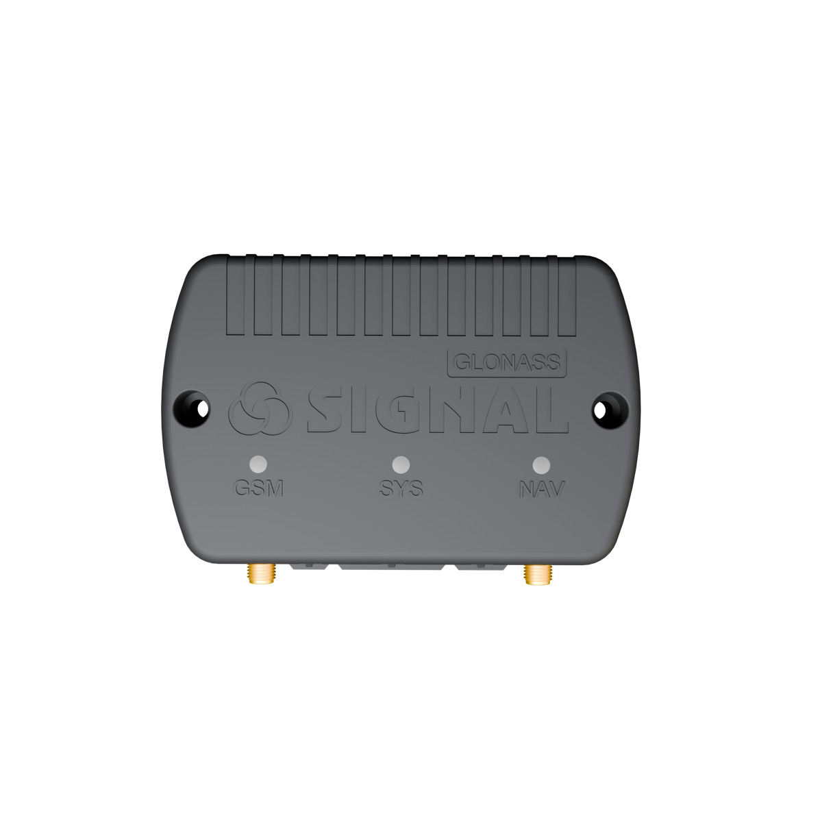
SIGNAL S-4753- Market
- IndiaMumbai
- Vessels
- Four sightseeing boatsPassenger excursions and crew assistance
- Application
- Tourist boat services
THE CHALLENGE
Follow excursions and respond to crew requests
A sightseeing-boat operator in Mumbai needed to follow its vessels during passenger trips, review their routes and speeds, and understand how the engines were being operated.
The operator also wanted crews to be able to request assistance with the boat’s location available to the person responding.
Communication was another consideration. The installation needed to make use of available coastal cellular coverage while allowing the tracker to remain in a protected position onboard.
THE SOLUTION
Link boat journeys with RPM and crew events
SIGNAL S-4753 trackers were installed on four boats. They supplied location, speed and journey history, while an engine RPM connection added information about engine operation. An assistance button allowed the crew to send an event to the monitoring system. External navigation and cellular antennas supported suitable antenna placement onboard.
Review routes, speed and engine operation
The operator could follow reported boat positions and review completed excursions. Route and speed records helped identify deviations or operating periods that required discussion with the crew. RPM readings added context to those checks. Staff could examine engine speed alongside vessel movement, rather than judging engine operation from the route alone. RPM did not independently establish fuel consumption or engine condition.
Request assistance with location context
If help was needed, a crew member could press the connected button. The monitoring system received an assistance event, allowing the operator to identify the boat and review its reported coordinates before contacting the crew and coordinating a response. Delivery of the event depended on available cellular communication. The button complemented onboard emergency procedures rather than replacing marine distress equipment.
Position antennas for better reception
External antennas could be placed where surrounding structures caused less obstruction, while the tracker remained protected onboard. Support for 4G and 2G allowed the installation to use an available compatible network. Antenna placement helped make use of existing coverage; it did not provide connectivity beyond cellular service areas.
THE RESULT
Journey records and crew assistance requests
The operator gained a record of where each boat travelled, its reported speed and the associated engine RPM. This provided a basis for reviewing excursions and following up on particular route or operating events with the crew.
The assistance button also gave crews a direct way to request attention, with the vessel’s reported location available to support the response.
WHY SIGNAL S-4753
Keep vessel activity and requests accessible
S-4753 helped the operator maintain oversight after a boat left the harbour. Staff could review its journey and respond to an assistance request using location information from the same vessel.
External antennas were an important practical fit: they could be positioned for reception while the terminal remained protected onboard. For this project, the value was making boat activity and crew requests accessible to the operator wherever compatible cellular coverage was available.
SIGNAL S-4753
YOUR PROJECT
Tell us about the work you need to measure
Share the vehicles, routes, sensors and decisions you want this data to support.
More in this application
India · SMART S-4511
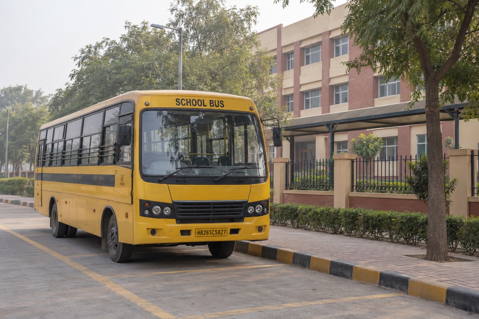
School Bus Updates in Gurugram
RFID card events and bus tracking give parents boarding and exit records, journey updates and arrival estimates across 20 school buses.
Explore use case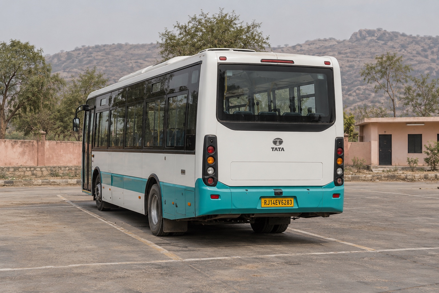
India · SMART S-2435
Electric Bus Readiness Between Delhi and Jaipur
Battery and charging records help prepare 17 electric buses across four stations, while journey and driver-card records support trip and shift reviews.
Explore use case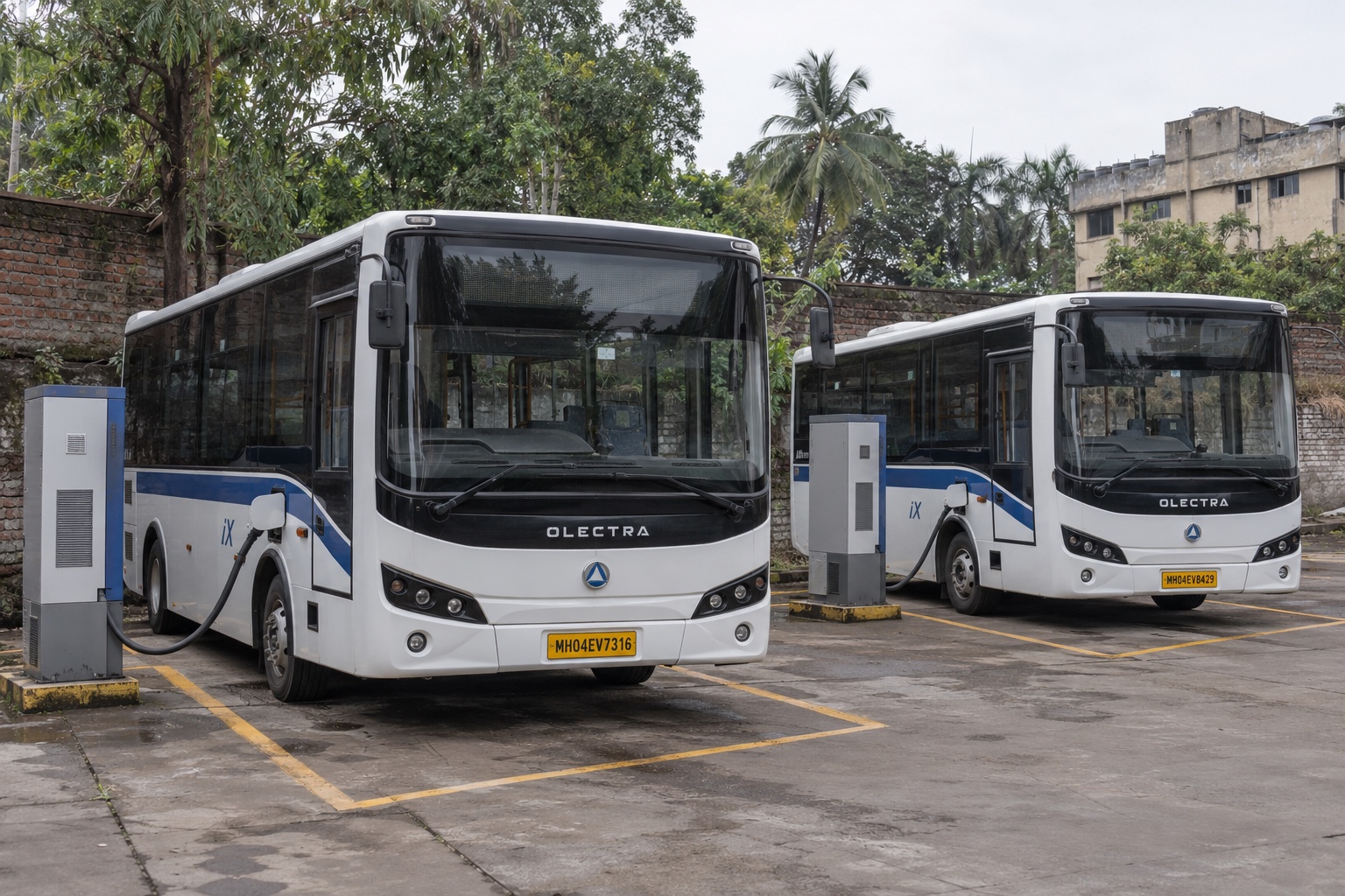
India · SMART S-2435
Charging Coordination for 14 Buses in Mumbai
Battery readings and platform completion notifications help prioritise 14 OLECTRA iX buses sharing two chargers around upcoming departures.
Explore use case